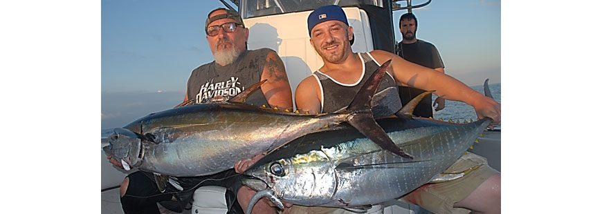
ERAs will help to protect important offshore fishing grounds. Photo by John McMurray.
The angling community should be firmly behind identifying and designating Ecologically Rich Areas
I suppose I should start here by explaining what exactly an “Ecologically Rich Area” (ERA) is. As you may have guessed, it’s simply what scientists have determined is an area critical to the ocean’s functioning and resilience. Places of high productivity, biodiversity and abundance; places where spawning, breeding, feeding and migration happen; places where there are rare marine resources.
As I wrote in a blog back in February, they are really what we know as “go-to” spots. Those areas that, for one reason or another, always seem to hold “life” (e.g. bait, whales, dolphins, turtles, etc.). It’s where we almost always stop and fish because there’s a damn good chance there will be predators there. Just off the top of my head, I could rattle off a half dozen such spots off of Western Long Island alone, but hey, there’s no reason to spot-burn here.
There has been a recent effort underway as part of the regional ocean planning process, to gather data and officially identify such areas. For context on what such regional planning is, I suggest taking a quick read of a blog I did on this a few months ago: ‘National Ocean Policy’ and What It Really Means for Us, and maybe here too: Mid Atlantic Regional Plan is Out. But I can summarize all of it fairly well by saying it’s simply an effort to prepare for inevitable ocean development. Think wind farms, mining, oil and gas, etc.
The thing is, it’s just about impossible to protect important ocean places when you haven’t mapped their locations. So it makes sense that decision-makers need to know where these places are to determine what should happen where.
It’s pretty simple… If we can identify and document where exactly such areas are — something more than just having some fishermen say there are fish there — then we can make the case that such areas aren’t compatible for certain types of development.
Think about it this way… Is a natural gas island compatible with Cholera Bank? How about a wind farm on top of the Bacardi and/or Texas Tower? Not so much right? Identifying ERAs and designating them as such gives decision-makers context to make those sorts of when and where decisions.
Thus you would think such a concept would have blanket support from the recreational fishing community. I think for the most part it does. Yet, there are still a few outspoken people/groups concerned that the designation of such areas may lead to a closure (read: no fishing). I get that the plan hasn’t clearly defined the goals of identifying ERAs — and they should — but IMO, such fears of fishing closures are unfounded.
Let’s be clear about one thing here from the get-go. These Regional Planning Bodies (RPBs) and the regional plans themselves just don’t have that sort of regulatory authority. Even if the RPBs wanted to, and I’m pretty sure they don’t, they couldn’t just shut anyone out, either recreational or commercial.
And if the Mid Atlantic Council (largely composed of stakeholders and that has the strongest connection to fishing closures) chose to do such a thing — as a Council Member, I’m just about certain they wouldn’t – it would be a long, transparent amendment process with full public involvement.
Councils don’t just shut areas down without full consultation with the public and specifically the fishing industry. And in the limited situations where they have restricted certain gear in very specific areas, it’s been a collaborative process, working with the industry.
Just to be clear though, I do understand the concern that once areas are identified, federal agencies maybe compelled to “do something” from a regulatory standpoint, but I can say with all honesty — and no matter what the impact on an area might be — from fishing to construction — this is not something I see happening quickly or without public engagement. And if the public doesn’t want it, it generally doesn’t happen.
To anyone paying attention, the intent should be crystal. And that’s simply to have more information so that regional decision-makers (Bureau of Ocean Energy Management, the Council etc.) can make informed decisions about where certain types ocean development make sense. The identification and designation of ERAs will be critical in that respect.
In the end, they will likely go a long way toward insuring those go-to spots remain intact and are accessible.

Pingback: Regional Ocean Plans Finalized - Marine Fish Conservation Network